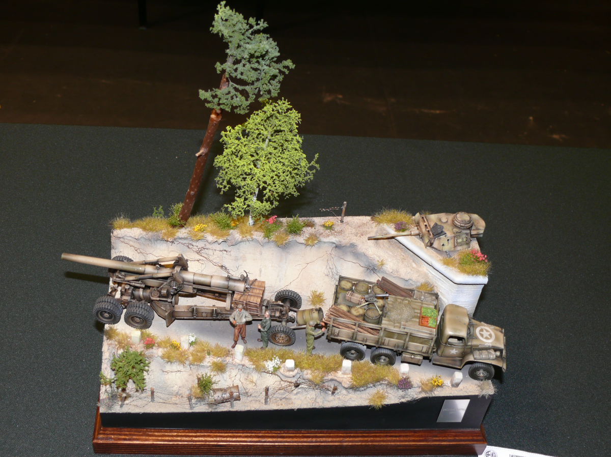
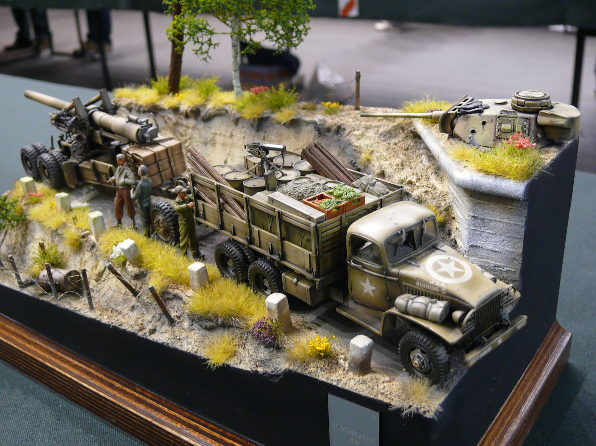
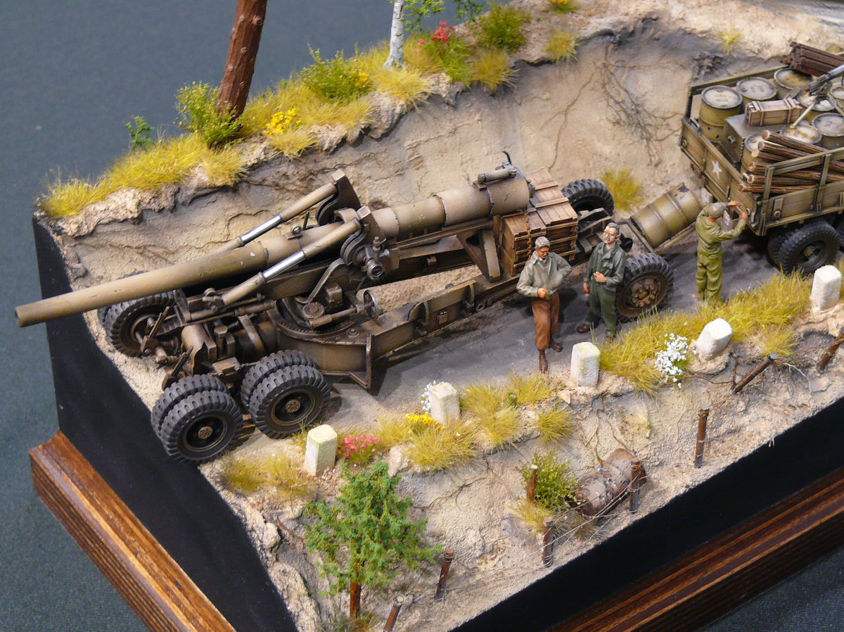
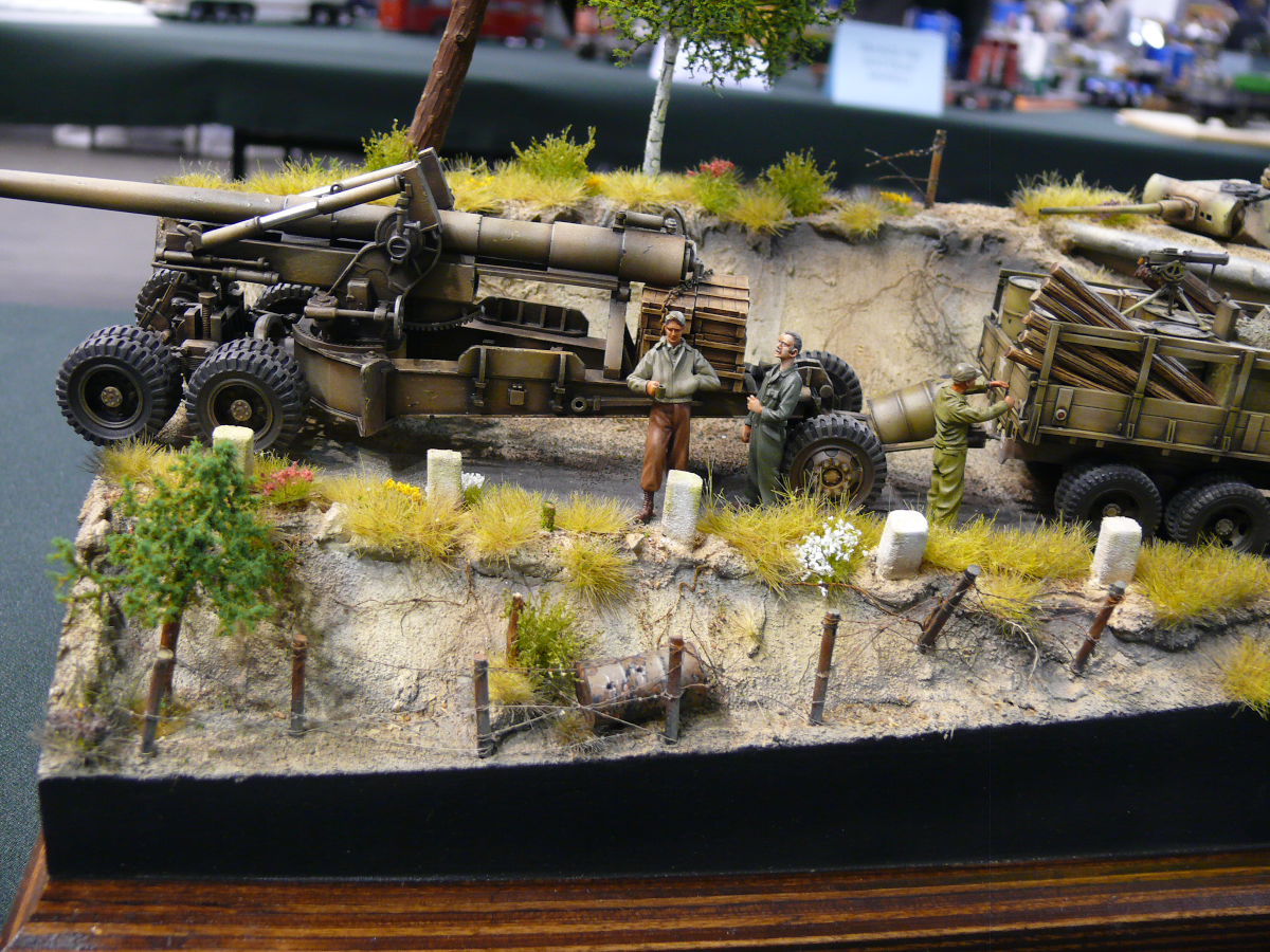
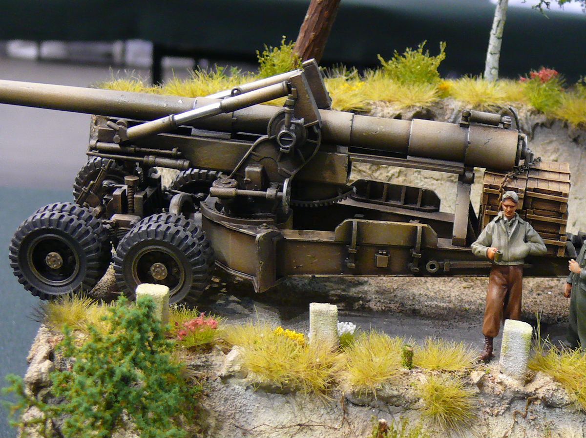
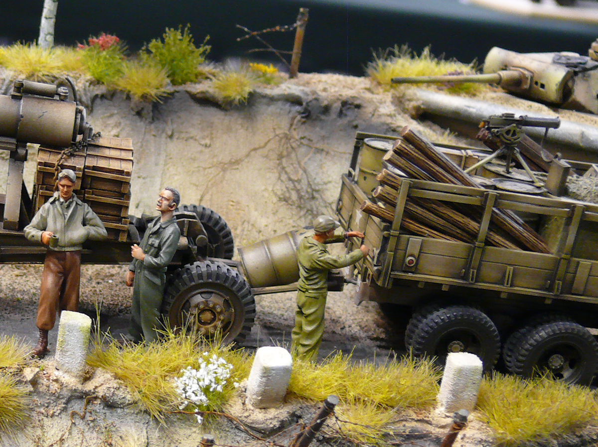
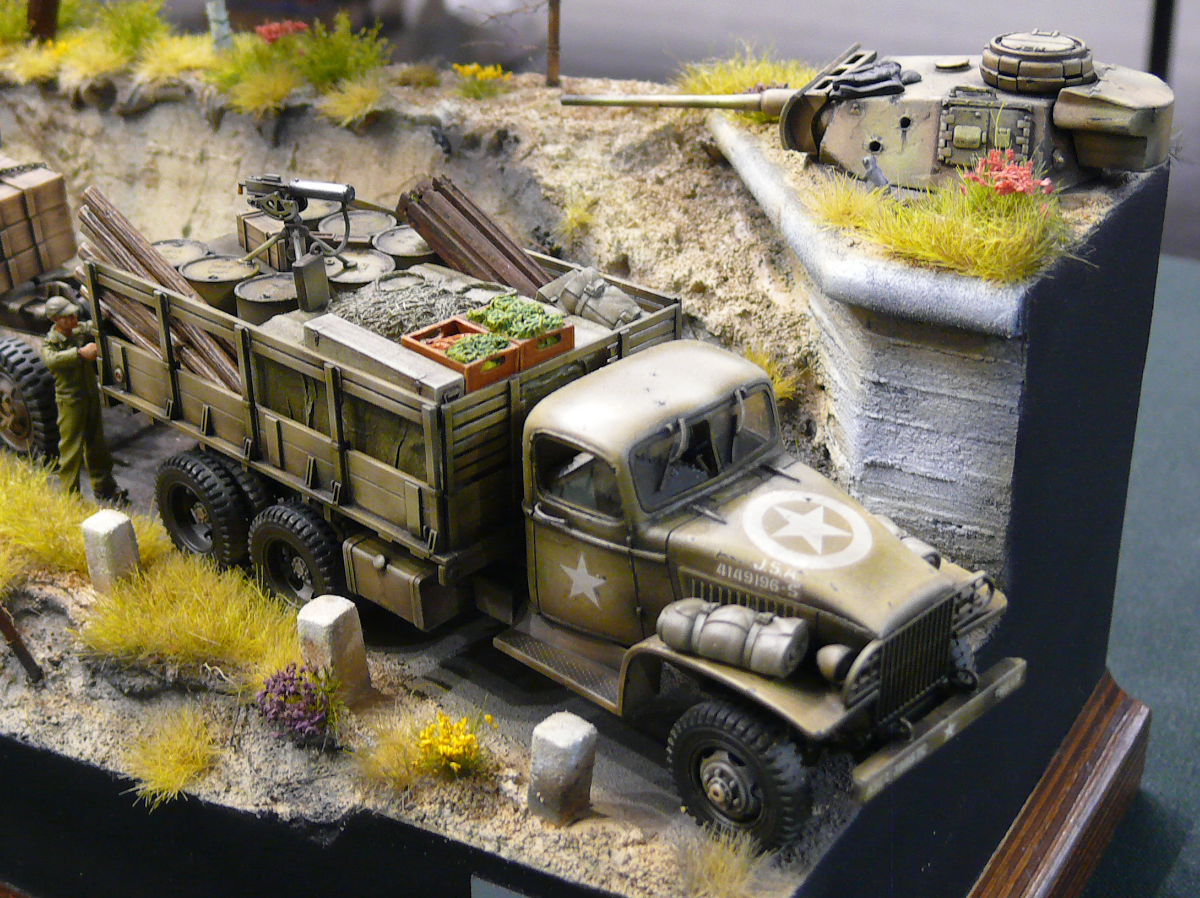
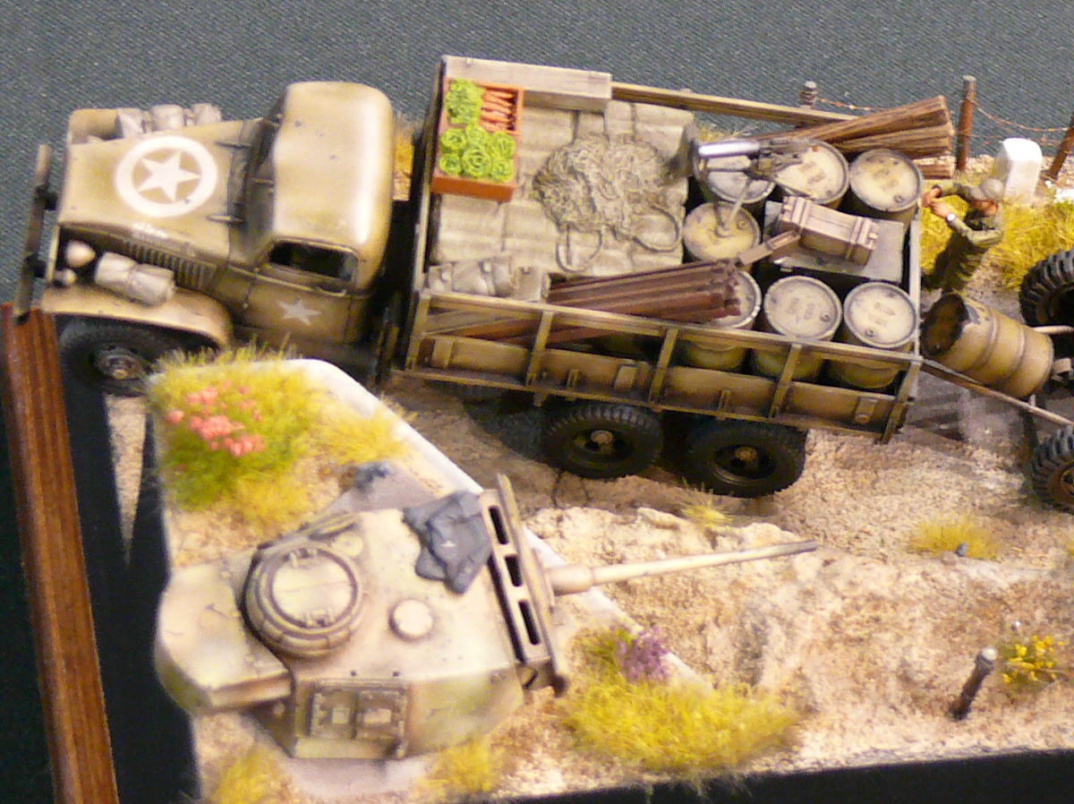
Diorama titled Normandy 1944
Diorama titled "Normandy 1944" was made in 1:48 scale. The diorama had award at the 11th International Festival of Plastic Reduction Models Bytom 2014.
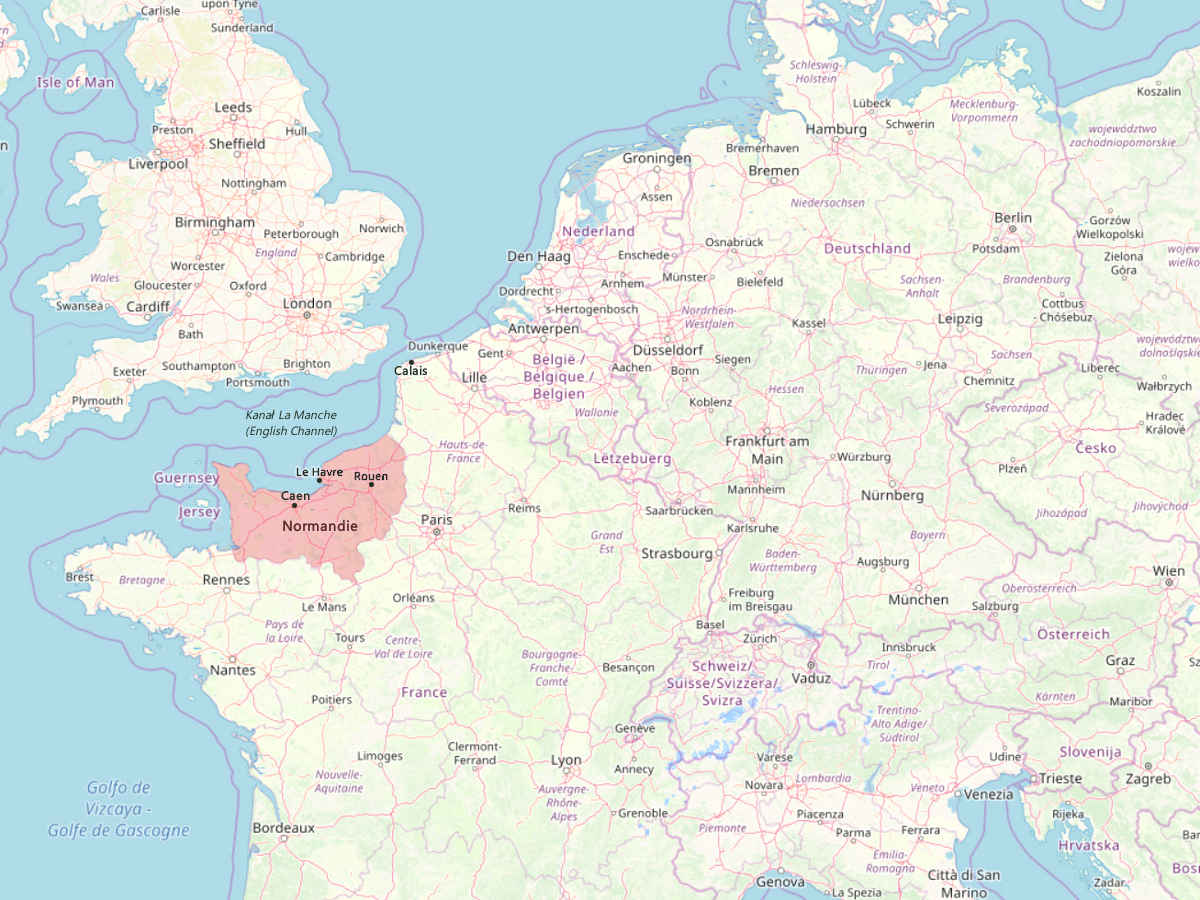
Normandy is a geographical and historical area located in the north of France on the English Channel. This land owes its name to the Normans (also known as the Vikings), a people from Scandinavia. The Normans began invading these lands in the 9th century, and finally settled here.
The largest landing so far in the history of the world just took place on the beaches of Normandy. It was during the Second World War on June 6, 1944. On that day, 4,000 landing ships and barges dropped 133,000 British, American and Canadian soldiers on the Normandy beaches. The sea landing was preceded by an air landing. 24,000 soldiers were transported in gliders or dropped with parachutes. Before landing, the Allied air force dropped about 9,000 tons of bombs on German fortifications, and the landing troops were supported by 1,200 warships that covered the landing from the sea.
The Normandy landing were intended to force the Germans to split their forces in Europe into two fronts. To defend itself against the Allies in Western Europe, some German troops had to be withdrawn from the Eastern Front.
Sources:
- https://pl.wikipedia.org/wiki/Normandia_(kraina_historyczna)
- https://pl.wikipedia.org/wiki/L%C4%85dowanie_w_Normandii
- https://pl.wikipedia.org/wiki/Wikingowie
20 Mar 2014, update: 22 Dec 2018
Modeller: no data
Photographer: Ender
Illustration by Ender and the authors of OpenStreetMap
The cartographic data for the illustrations have been downloaded from the website www.openstreetmap.org based Open Data Commons Open Database License.
These photos and illustrations are available under the Creative Commons Attribution-ShareAlike 4.0 International license. This means that you can use them for free for any purpose, even for commercial purposes, as long as you indicate the author of the photos and the link to the source, i.e. the website address from which they were taken. You must also provide the license name and a link to its terms and conditions.
